
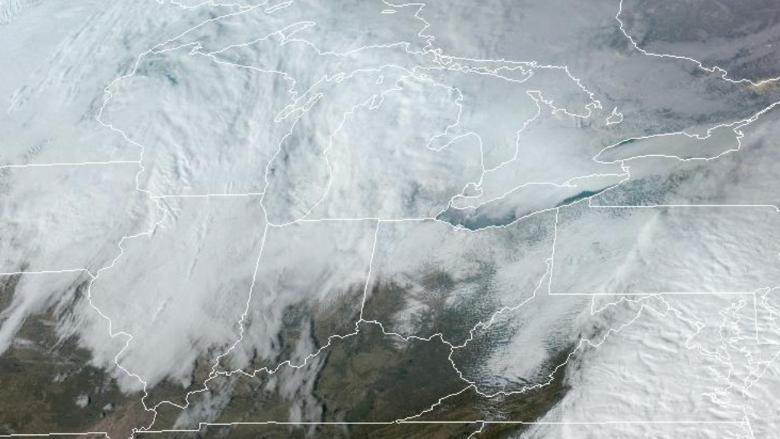
The National Weather Service has issued a Cold Weather Advisory for northwest and north central Ohio from 1 p.m. Monday through noon Tuesday, with wind chills as low as 20 degrees below zero.
The advisory includes Lucas, Wood, Ottawa, Sandusky, Erie, Hancock, Seneca, Huron, Wyandot, Crawford, Richland, Marion, and Morrow counties, affecting cities such as Toledo, Bowling Green, Sandusky, Findlay, Fremont, Marion, and Mansfield.
Snow is expected late Sunday night, mainly between 10 p.m. and 3 a.m., with 1 to 2 inches of accumulation possible. Snow may continue into early Monday morning, followed by patchy blowing snow as winds increase.
Temperatures will fall through the day on Monday, reaching around 11 by late afternoon. Gusty winds up to 38 miles per hour will drive wind chills near 9 below zero. Cold conditions continue Monday night into Tuesday, with highs Tuesday near 15.
Discover more from River Rat Country
Subscribe to get the latest posts sent to your email.